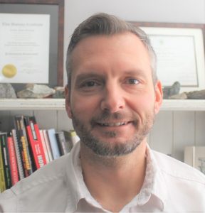
 Connor Grenwich, B.Sc., P.Geo
GIS / Mapping Specialist
Connor is a registered professional geoscientist (P.Geo) with the Association of Professional Engineers and Geoscientists of Alberta (APEGA). Since 2009, he has contracted in mineral exploration, oil and gas, hydrogeology, aggregate exploration and geophysical surveys across Canada and the United States in which GIS has played a critical role. He is proficient in the use of ESRI ArcGIS, QGIS, and has experience in geoscience-specific software such as Geosoft Oasis Montaj, Vulcan, Leapfrog, and Geomodeller. Included in his skillset are terrain analysis, spatial data collection and problem-solving, mapping and updating geological features in plan view and cross-section, raster generation, and three-dimensional modelling.
In 2019, Connor enrolled in SAIT courses for the Bachelor of Applied Technology in Geographic Information Systems to become more acquainted with GIS techniques and data management. In 2020, he began providing services for professional planners in generating base and thematic maps, and digitization for area structure plans, official community plans, and other statutory plans.

 Connor Grenwich, B.Sc., P.Geo